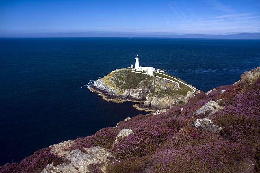
South Stack lighthouse on the rugged north coast of Anglesey
Vivienne Crow highlights eight of the Wales Coast Path’s most rugged and spectacular stretches
IT’S HARDLY SURPRISING THAT, as people have emerged from lockdown wanting to escape the confines of urban living, interest in the Wales Coast Path has soared – guidebook sales are rocketing and website hits are up. So, what is it that attracts solitude-seekers to this briny trail that extends 1,400km from Chester in the north to Chepstow in the south? Surely it’s all sand dunes, salt marshes and busy seaside resorts? Or is there something more here, something for hill-walkers too? Vivienne Crow, who has written the Official Guidebooks to two sections of the Wales Coast Path, highlights eight of its most rugged and most spectacular stretches.


-
Tip of the Llŷn Peninsula
A slender finger of land reaching out towards Ireland, the Llŷn Peninsula sometimes feels like a forgotten cul-de-sac, a place where time stands still. The cliffs and heathland at the tip of this promontory are covered with historic remains while, inland, tiny enclosures are divided by traditional, stone-faced earth banks known as cloddiau. The best way to experience it is to walk south-west from Aberdaron, along increasingly brawny clifftops, with views of Snowdonia’s peaks quickly replaced by the spectre of Bardsey Island, or Ynys Enlli, floating offshore. After rounding the tip at Mynydd Mawr – where heathers and western gorse defy salt-laden winds by creeping along the ground – head along the north coast as far as Whistling Sands before crossing back to Aberdaron to complete a 17km circuit.
-
South from New Quay
After the estuaries and dune systems of south-western Snowdonia, the cliffs again begin to rise as the Wales Coast Path enters Ceredigion. The stretch between New Quay and Aberporth is particularly dramatic, a magnificent but fairly tough day’s walking along windswept tops that tower over secluded beaches and jagged stacks. South of the picturesque cove at Cwmtydu, the trail negotiates a remarkable path that had to be cut into the 150m-high cliff face after the local council failed to negotiate a route with the landowners. (An alternative path heads inland here for those who don’t like heights.) In total, the undulating 21km route involves about 1000 metres of ascent and descent. A regular bus service between the two seaside towns makes it accessible for day walkers.
The stretch between New Quay and Aberporth is particularly dramatic, a magnificent but fairly tough day’s walking along windswept tops that tower over secluded beaches and jagged stacks.
-
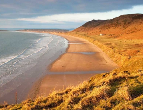
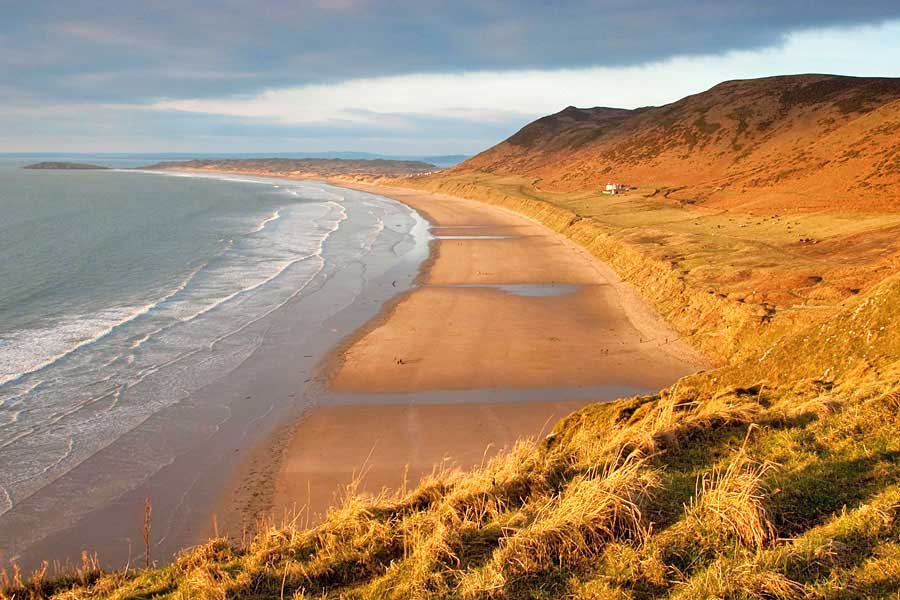
Gower’s south coast
With them being located just a stone’s throw from the suburbs of Swansea, you’re unlikely to have the beaches and villages of Gower to yourself, but once you’re on the coast path, the crowds will quickly become a distant memory. The best way to experience this South Wales peninsula on foot? Park at the Gower Heritage Centre, hop on the 118 bus to Rhosilli and then walk the 24km back. Time things right and you could start the day with a walk out to the tidal Worms Head before heading east over a long procession of limestone cliffs punctured by sandy bays at Port Eynon and Oxwich. Saving the best until last, the long day ends at beautiful Three Cliffs Bay, regarded as one of the scenic highlights of the entire Welsh coast.
-
Anglesey’s north coast
Crossing the Menai Strait and following the North Wales Expressway towards Holyhead, you could be forgiven for dismissing Anglesey as rather dull – there’s a lot of flat farmland out there. Continue beyond though, along narrow lanes crossing a less intensively cultivated landscape, and you’ll reach the island’s wild, northern tip. Here, the Wales Coast Path winds its way along cliffs capped by heather and close-cropped grass. The coastline might lack elevation, but its wave-sculpted drama brings excitement, while its solitude creates space to think. With an early start, it’s possible to use local buses to walk the exhilarating 20km from Cemaes Bay, around Carmel Head and then inland from Borthwen to Llanfaethlu. Do it that way round to get the Wylfa power station out of the way early on.
-
Strumble Head
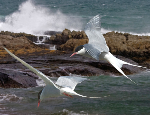
For long sections of rugged clifftop hiking, often with a real sense of remoteness, you can’t beat Pembrokeshire. Strumble Head is on the county’s northern coast, nine kilometres west of Fishguard. The coastal path weaves its convoluted way around countless coves to reach this lighthouse-capped headland. While cetaceans can be spotted out at sea, grey seals bask on the shore below, barking at each other as they tussle for space on already crowded rocks and beaches. Beyond Carreg Onnen Bay are the tiny islands and rocky spines of Pwll Deri, home to one of Britain’s best located youth hostels. The car park at Strumble Head and a complex network of inland paths allows for circular walks taking in atmospheric heathland peppered with prehistoric remains.
-
Castlemartin
“Best bit of the Wales coast?” Ask a climber, and there’s a good chance they’ll point you to the amazing coastal scenery south of Castlemartin in Pembrokeshire. The Carboniferous limestone here has given rise to features such as the twin towers of the Elegug Stacks, the much-Instagrammed natural arch at the Green Bridge of Wales and the narrow chasm of Huntsman’s Leap. Allow plenty of time for peering over sheer edges, gazing down into blowholes and general standing and gawping at what earth processes are capable of. The bad news is that all these marvels lie on a Ministry of Defence range, with access to Range East limited to weekends and other non-firing days. (Range West can be accessed only via guided walks organised by the National Park.)
-
Glamorgan Heritage Coast
Striding out along windswept, wildflower-bedecked clifftops, it’s great to hear the waves crashing way below your feet, but some of the Glamorgan Heritage Coast between Porthcawl and Aberthaw is best walked when the tide’s out. This 23km-long section of the trail lies on the Bristol Channel, home to the world’s second highest tidal range. Twice a day, the retreating sea reveals rock platforms stretching into the distance, some sporting the clints and grykes of limestone pavement. The retreating cliffs also unveil occasional secrets, with Southerndown and Llantwit Major being popular with fossil collectors on the hunt for ammonites, corals and giant brachiopods. By changing buses at Llantwit Major, it’s possible to walk most of the Glamorgan Heritage Coast in one day using public transport.
8: The Great Orme
Okay, so the whole circuit of this headland is barely 9km and the coast path hugs the toll road, but to miss out the Great Orme for these reasons alone seems churlish; this rather muscular hunk of limestone is one of the Welsh coast’s must-sees. Looming over Llandudno, it’s not hard to see how it got its name – ‘Orme’ being old Norse for serpent. Did our Viking ancestors imagine it a sea monster petrified into a series of tiered, ashen crags as it rose from the depths? If you don’t want to walk the toll road, there are paths (and a cable car and tramway) up to the 207m summit. Watch for limestone-loving wildflowers, butterflies galore, seabirds, peregrines and the Kashmiri goats that found fame when they invaded the deserted streets of Llandudno during lockdown.

Outdoor writer and photographer Vivienne Crow
This article first appeared in TGO (The Great Outdoors magazine) in October 2020, and is re-published here with the author’s permission. © Vivienne Crow 2020. All rights reserved.
Vivienne Crow is an award-winning freelance writer and photographer specialising in travel and the outdoors. She has written almost 20 walking and travel guidebooks, contributes regular features to newspapers and magazines, and does copywriting for conservation and tourism bodies. Vivienne is a member of the Outdoor Writers and Photographers Guild, and is available for commissions.
Contact: viviennecrow@hotmail.com
Books and maps for this part of the coast
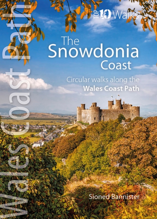
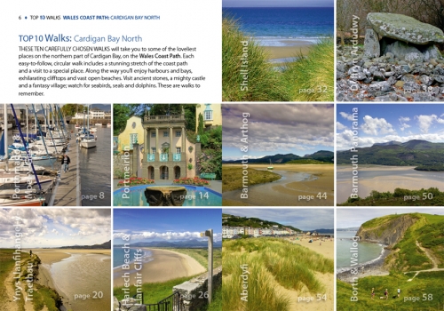
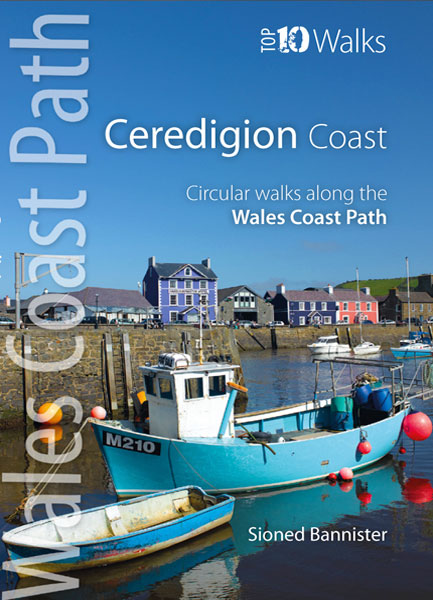

