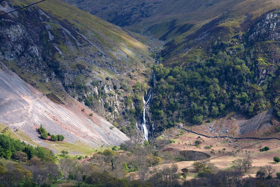
The dramatic Aber Falls, or Rhaeadr Fawr, above Abergwyngregyn on the Menai shore in North Wales
Fiona Barltrop visits the highest waterfall in Wales then loops along the Menai shore
FOR A SHORT, EASY ALL-YEAR-ROUND, ALL-WEATHER-WALK IN SNOWDONIA you can’t do much better than the mighty Aber Falls.
As with waterfalls generally, they’re all the more impressive after heavy rain, in which respect this part of the country certainly excels. Furthermore, they’re easily accessible being just a couple of miles inland from the village of Abergwyngregyn, situated off the A55 dual carriageway (aka the North Wales Expressway), which whisks drivers along the north Wales coast.


It was for these reasons that I suggested a walk here when I met up recently with an old family friend from New Zealand. I was visiting Snowdonia and Bill was on a one week whistle-stop tour of the UK, catching up with friends and happy to make a detour via Wales (“anywhere you like”) en route from Aberdeen to Heathrow via County Durham, Yorkshire and Dorset… “You are made of sterner stuff than I doing all that driving day after day on our horrendously busy motorways”, I commented. Bill’s used to clocking up the miles in NZ, but then our population numbers are somewhat different: c.4½ million v c.65 million!
The easy track up to the waterfall is part of the North Wales Path, but I suspect most of those who come up here to admire the spectacle just turn round and go back the same way, not realising there’s another, albeit smaller, waterfall (Rhaeadr-bach) a little further on.
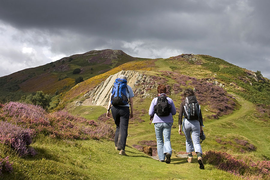
On the Wales Coast Path
Undaunted nevertheless, and with the aid of his rental car’s state-of-the-art sat nav, the rendezvous was a success, as indeed was our walk, despite the ominously dark grey clouds enveloping the Carneddau. To avoid the worst of the rain, we had a pleasant wander along the shoreline first, then walked up to the waterfall and back, parting company after a welcome pot of tea at the new Aber Falls Café.
Twisted hawthorns frame the Aber Falls, in North Wales
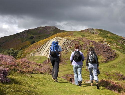
A couple of days later I decided to make a return visit, keen to link the waterfall walk and shoreline path with a stretch of the North Wales Path. On a number of occasions in the past I’ve taken the bus from Abergwyngregyn to Conwy and walked back along the North Wales Path (a fine route), but never followed it in the other direction. Mercifully, the heavy rain abated as I arrived and I was soon able to remove the waterproofs.
‘Estuary of the white shells’
Given that the common Welsh prefix ‘aber’ means ‘mouth of’ (Aberystwyth, for example, means the mouth of the River Ystwyth) you might think Abergwyngregyn would mean the mouth of the Gwyngregyn. But apparently it translates as estuary of the white shells, referring to the abundant cockle beds of Traeth Lafan (Lavan Sands). The river itself has no fewer than three names. From the sea to its confluence with Afon Anafon, just above Bont Newydd, it is known as Afon Aber; from here up to the waterfall it is Afon Rhaeadr Fawr (river of the big waterfall), and above the waterfall it is called Afon Goch (red river).
The easy track up to the waterfall is part of the North Wales Path, but I suspect most of those who come up here to admire the spectacle just turn round and go back the same way, not realising there’s another, albeit smaller, waterfall (Rhaeadr-bach) a little further on.
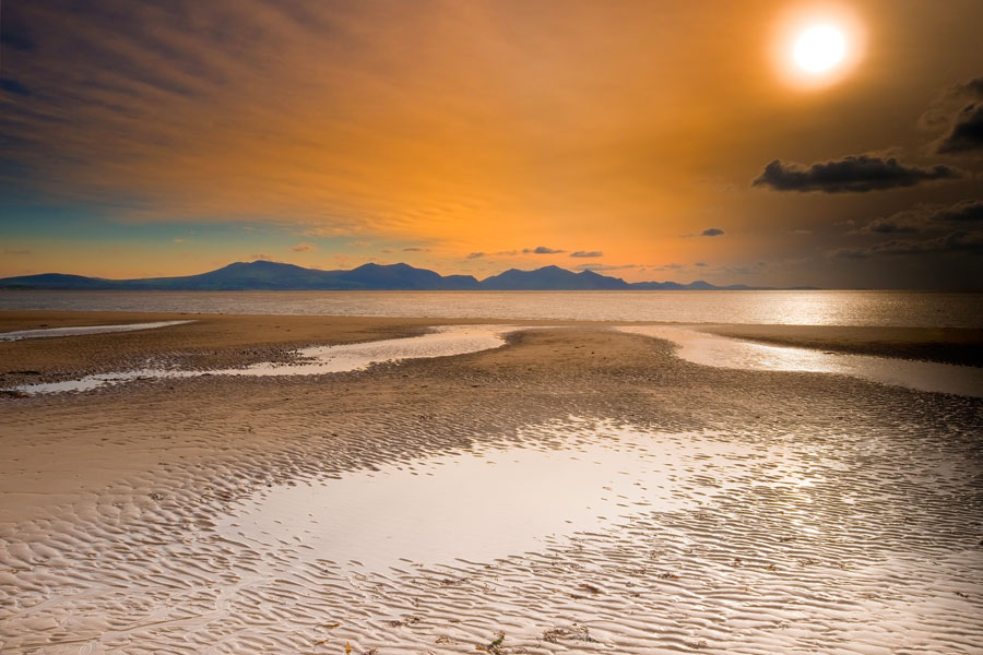
The grassy high level path along the western slopes above the valley provides excellent views, marred only by the sight of the pylons and overhead power lines. Thereafter there are fine coastal views to be enjoyed, stretching from Great Orme’s Head in the north-east to the coastline of Anglesey (with Puffin Island off its eastern tip) across the sands of Traeth Lafan to the north. Thousands of wading birds can be seen at Traeth Lafan, especially in the autumn and winter months.
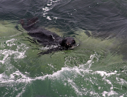
Returning along the shoreline path I lost count of the number of oystercatchers I spotted – they are cockle eaters, so perhaps it’s no wonder!
Fiona Barltrop