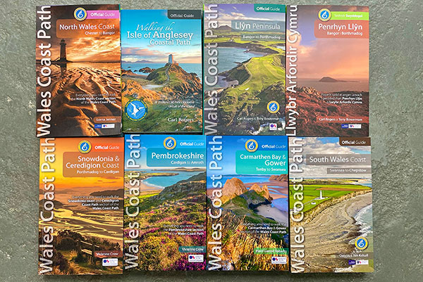
The award-winning, seven book series of Official Guides to the Wales Coast Path
The Official Guides to the Wales Coast Path were commissioned by the same Welsh government team who created and now manage the path. They’re hard to beat, says Tony Bowerman
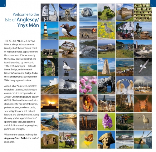
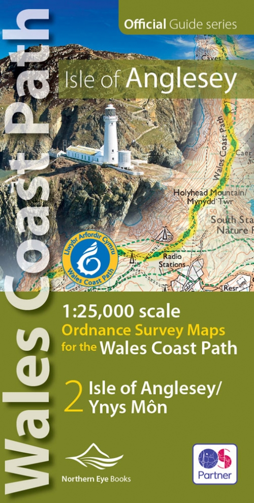
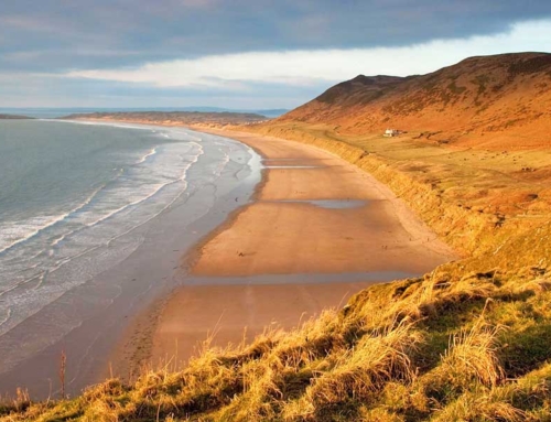
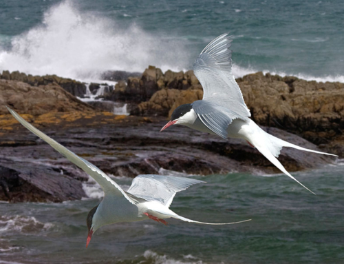
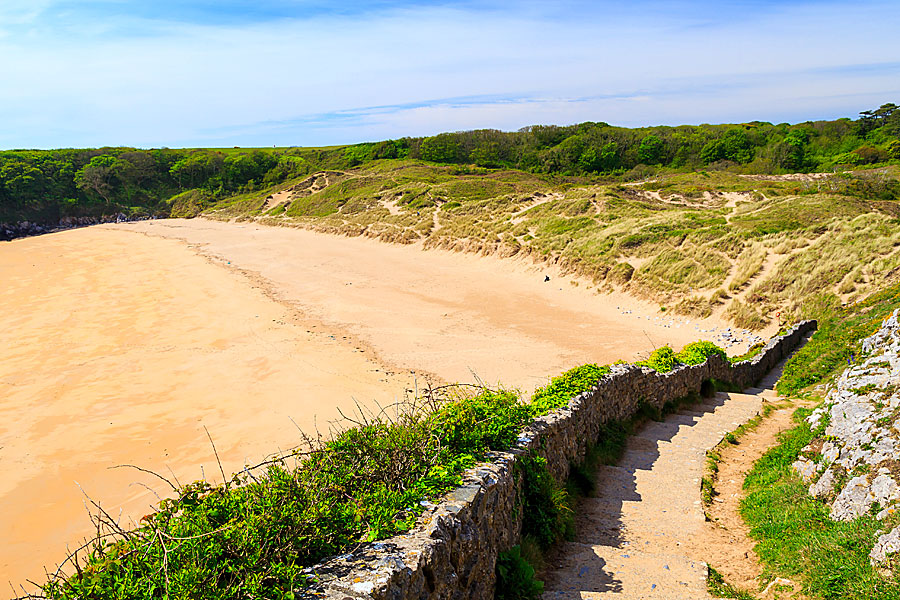
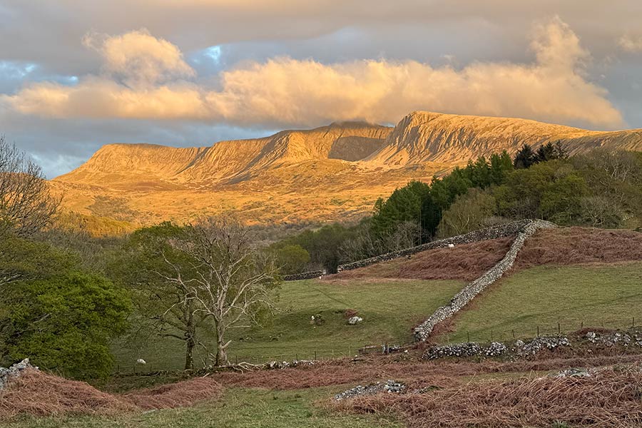
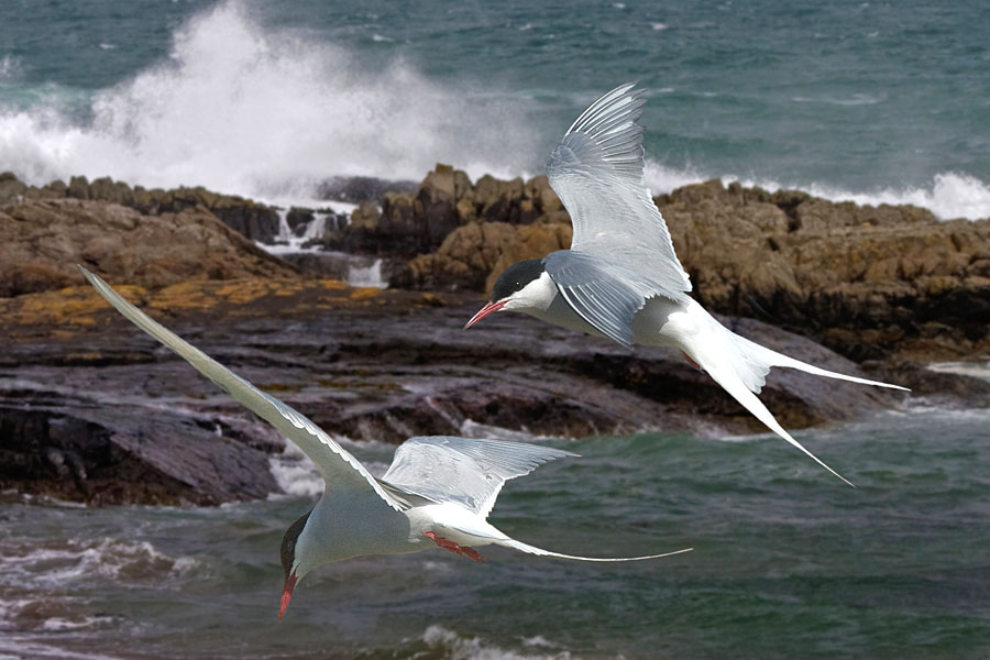
THE OFFICIAL GUIDES TO THE WALES COAST PATH are reliable, up-to-date and easy to use. The maps are bang up to date too, with the latest route clearly shown and highlighted. And the books are generously illustrated with superb, modern professional colour photos throughout.
What’s more, these Official Guides are only ones recognised and endorsed by Natural Resources Wales, the government body who created, oversee and manage the route.
There are seven Official Guides covering the full 870-mile route of the Wales Coast Path, from Chester on the River Dee in the north to Chepstow on the River Severn in the south.
Running north to south, the seven books are:
1: North Wales Coast | Chester to Bangor | 80 miles/125 kilometres | 978-0-955962-51-6 | £12.99 | Lorna Jenner
2: Isle of Anglesey | Clockwise circuit from Menai Bridge | 130 miles/200 kilometres | 978-1-902512-15-0 | £13.99 | Carl Rogers
3: Llyn peninsula | Bangor to Porthmadog | 110 miles/180 kilometres | 978-1-908632-24-1 | £12.99 | Tony Bowerman & Carl Rogers
4: Snowdonia & Ceredigion Coast | Porthmadog to Cardigan | 132 miles/213 kilometres | 978-1-908632-25-8 | £15.99 | Vivienne Crow
5: Pembrokeshire | Cardigan to Tenby/Amroth | 186 miles/300 kilometres | 978-1-908632-98-2 | £15.99 | Vivienne Crow
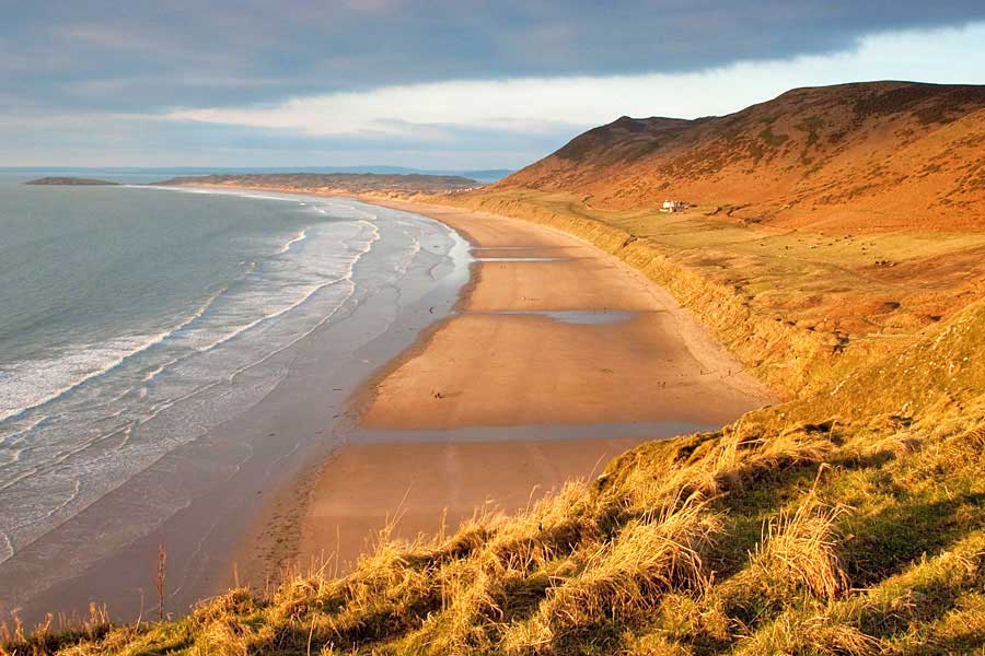
6: Carmarthen Bay & Gower | Tenby to Swansea | 130 miles/208 kilometres | 978-1-908632-99-9 | £15.99 | Harri Garrod Roberts
7: South Wales Coast | Swansea to Chepstow | 110 miles/180 kilometres | 978-1-908632-27-2 | £13.99 | Dennis & Jan Kelsall


Comprehensive guidebooks
All our authors are professional outdoor experts and members of the invitation-only Outdoor Writers and Photographers’ Guild.
And, as Ordnance Survey Partners, the publishers are able to use enhanced, large scale, up-to-date mapping throughout.
Key features include:
-
- Expert professional outdoor authors
- Carefully planned day-walk sections
- Distance charts for easy planning
- Clear numbered route directions
- Fascinating facts along the way
- Enhanced Ordnance Survey mapping
- Reliable up-to-date local information
- Superb professional colour photographs
- Handy map-pocket size
- Robust flapped cover
“We are very happy to recommend the series of seven high quality Official Guides to the Wales Coast Path. They are ideal for planning a long or short walk, exploring the Path, acting as a memento — or simply for looking at the spectacular photographs from your armchair!”
Quentin Grimley, Wales Coast Path Team, Natural Resources Wales
These excellent guides lay the whole Wales Coast Path at your feet — mixing practical information with the fascinating history, heritage and wildlife you will meet as you walk”
Country Walking magazine

Tony Bowerman

