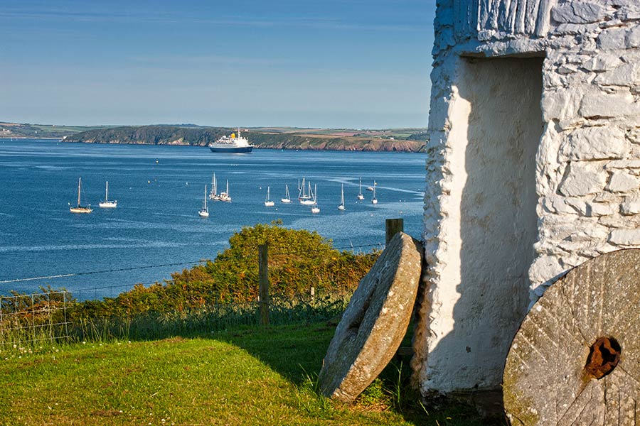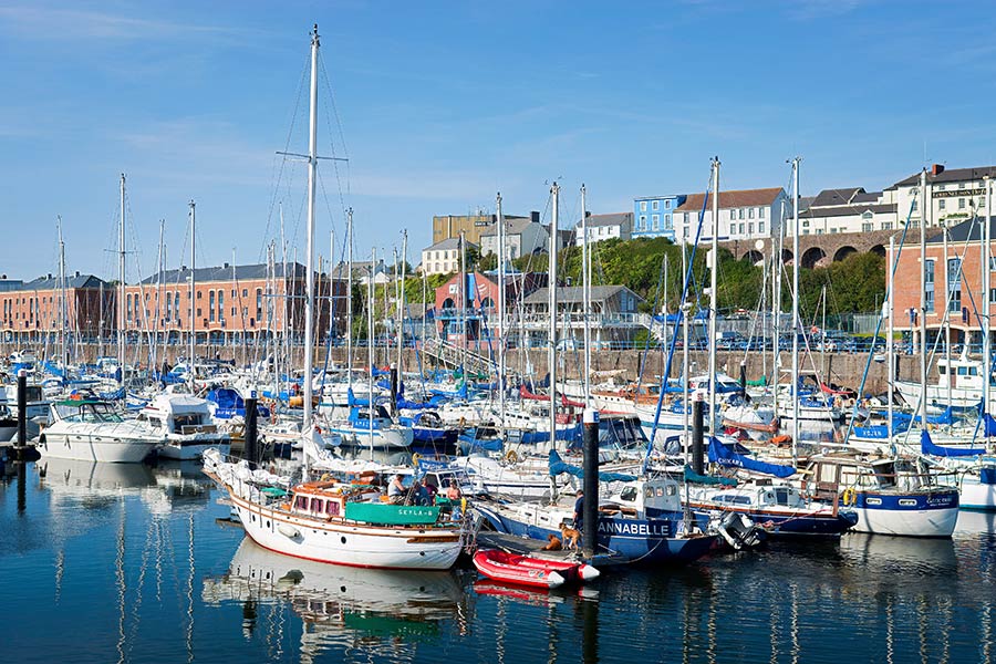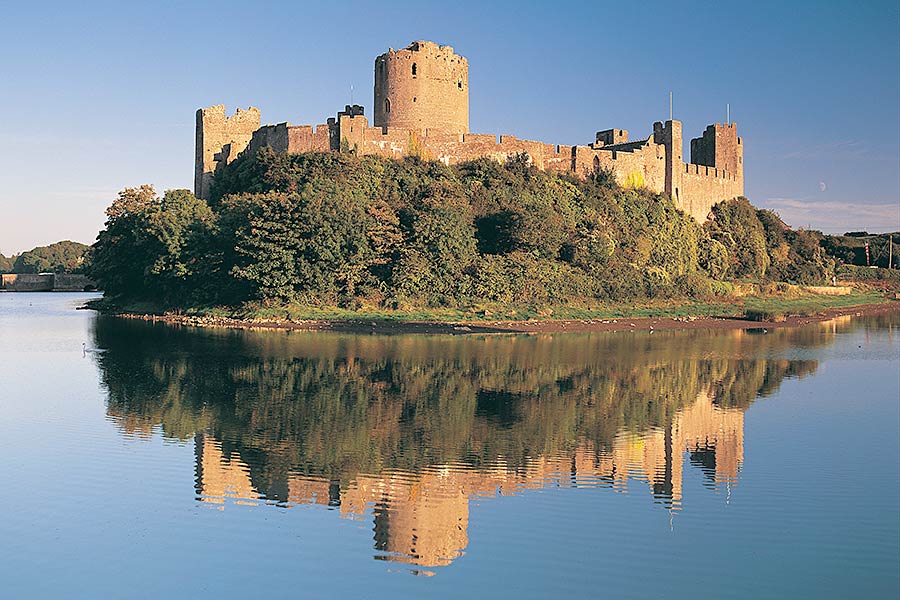
Sandy Haven to Pembroke – on the Wales Coast Path
A short walk on low cliffs is followed by long sections through the historic towns beside the Milford Haven waterway as well as some woodland
- Cardigan-Newport
- Newport-Fishguard
- Fishguard-Pwll Deri
- Pwll Deri-Aber Draw
- Aber Draw-Whitesands Bay
- Whitesands Bay-Solva
- Solva-Broad Haven
- Broad Haven-Marloes Sands
- Marloes Sands-Sandy Haven
- Sandy Haven-Pembroke
- Pembroke-Angle
- Angle-St Govans
- St Govans-Manorbier
- Manorbier-Amroth Castle
- Tenby
Outline
Distance: 17 miles / 27 kilometres
Start: Lane at Sandy Haven – SM 853 075
Finish: Northern side of Mill Bridge, Pembroke – SM 983 016
Maps: Ordnance Survey Explorer OL36 South Pembrokeshire, Landranger 157 St David’s & Haverfordwest
Services: B&Bs and campsite at Sandy Haven, but the nearest place to eat is the pub at Herbrandston. Herbrandston also has B&Bs and a camping barn. (Milford Haven TIC | 01437 771888 | milford.tic@pembrokeshire.gov.uk.) There are lots of places to eat, sleep, buy provisions and access cash machines on this section, including Hakin, Milford Haven, Hazelbeach, Neyland, Pembroke Dock and Pembroke. Public toilets at Gelliswick Bay, Milford Haven, Hazelbeach, Pembroke Dock and Pembroke. Launderettes in Milford Haven and Pembroke Dock
Where to stay: Pembroke is an interesting town with several places to stay, including:
The Dolphin Hotel & Restaurant
Search more local accommodation through the links below
Plan your trip
Wales is a dream destination for independent travellers. The Welsh Coastal Path is easy to reach by bus, train and plane, hire car or campervan. Stay in a cosy hotel, holiday home or friendly B&B. And don’t forget holiday insurance. It pays to plan ahead. Book Now
Local tours
While you’re here, why not enjoy more of Wales’ rich heritage, history and landscape?


