Holyhead to Trearddur Bay – on the Wales Coast Path
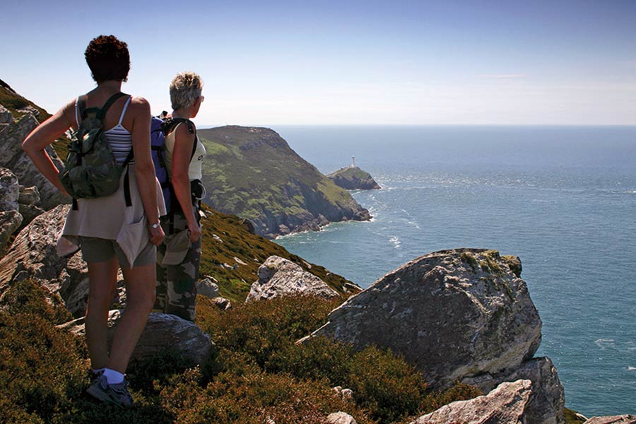
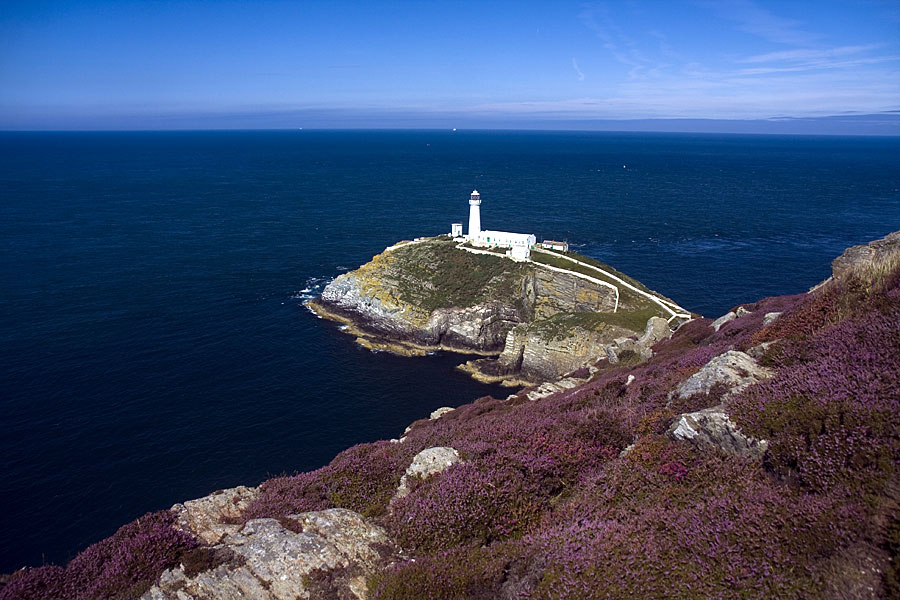
A stunning section of rocky coast, including dramatic South Stack lighthouse, nesting seabirds, and passing close to Anglesey’s highest point
- Bangor-Beaumaris
- Beaumaris-Pentraeth
- Pentraeth-Moelfre
- Moelfre-Amlwch
- Amlwch Port-Cemaes
- Cemaes Bay-Church Bay
- Church Bay-Holyhead
- Holyhead-Trearddur Bay
- Trearddur bay-Four-Mile-Bridge
- Four Mile Bridge-Aberffraw
- Aberffraw-Newborough
- Newborough-Menai-Bridge
- Menai Bridge
Outline
Distance: 11.5 miles/18 kilometres
Start: Saint Cybi’s Church, Holyhead – SH 247 826
Finish: Trearddur Bay – SH 255 790
Maps: Ordnance Survey Explorer 262 Anglesey West, Landranger 114
Services: Holyhead is a large town with a variety of shops and supermarkets. Banks, pharmacy, cash machines, cafes, pub and restaurants.
Where to stay: Holyhead offers plenty of places to stay, including:
The Hut Wales – A Sea Front Inn
Search more local accommodation through the links below
Plan your trip
Wales is a dream destination for independent travellers. The Welsh Coastal Path is easy to reach by bus, train and plane, hire car or campervan. Stay in a cosy hotel, holiday home or friendly B&B. And don’t forget holiday insurance. It pays to plan ahead. Book Now
Local tours
While you’re here, why not enjoy more of Wales’ rich heritage, history and landscape?


