Trearddur Bay to Four-Mile Bridge – on the Wales Coast Path
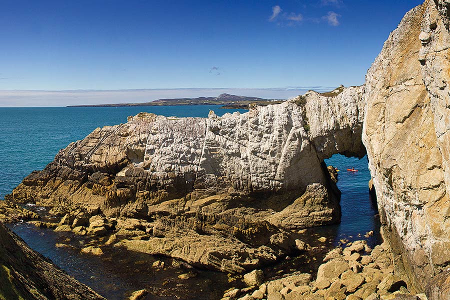
A walk of two halves: a series of coves and cliffs between Trearddur and Rhoscolyn followed by low-lying lush farmland and marshes
- Bangor-Beaumaris
- Beaumaris-Pentraeth
- Pentraeth-Moelfre
- Moelfre-Amlwch
- Amlwch Port-Cemaes
- Cemaes Bay-Church Bay
- Church Bay-Holyhead
- Holyhead-Trearddur Bay
- Trearddur bay-Four-Mile-Bridge
- Four Mile Bridge-Aberffraw
- Aberffraw-Newborough
- Newborough-Menai-Bridge
- Menai Bridge
Outline
Distance: 9 miles/14 kilometres
Start: Trearddur Bay – SH 255 790
Finish: Four-Mile-Bridge – SH 280 783
Maps: Ordnance Survey Explorer 262 Anglesey West, Landranger 114
Services: Very few amenities on the route once you leave Trearddur. Excellent dog friendly pub (The White Eagle) at Rhoscolyn serving food each day. Check opening times off season. Very little at Four-Mile Bridge – some accommodation, campsite. Bus links back to Holyhead and Valley
Where to stay: Trearddur Bay offers plenty of places to stay, including:
Search more local accommodation through the links below Madrona
Plan your trip
Wales is a dream destination for independent travellers. The Welsh Coastal Path is easy to reach by bus, train and plane, hire car or campervan. Stay in a cosy hotel, holiday home or friendly B&B. And don’t forget holiday insurance. It pays to plan ahead. Book Now
Local tours
While you’re here, why not enjoy more of Wales’ rich heritage, history and landscape?


