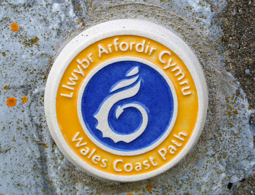
Anglesey’s unfrequented coastline — on the Wales Coast Path
Fiona Barltrop explores the remote cliffs and bays of the Isle of Anglesey’s rugged north coast
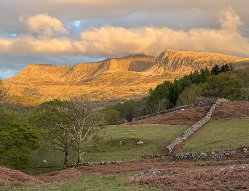
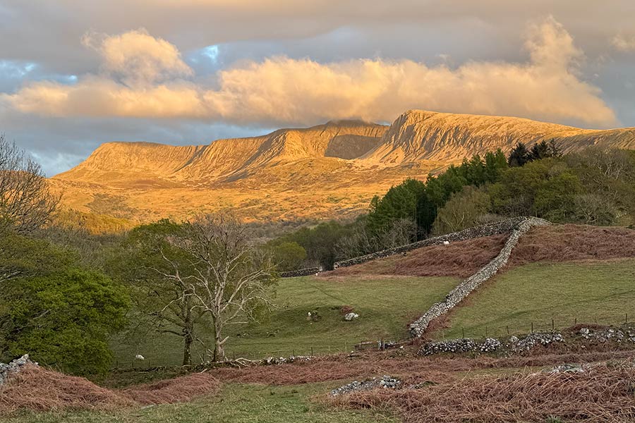
WITH THE MOUNTAINS OF SNOWDONIA so nearby, I suspect Anglesey is overlooked by most hill-oriented walkers. Its highest point – situated on Holy Island, which lies just to the west of the main island of Anglesey, to which it’s connected by two road links – is a mere 220 metres high, but in an island as low-lying as this it’s a very prominent hill from miles around. So much so it’s earned the name Holyhead Mountain.


Remote scenery
A 125 mile coastal path encircles Anglesey – including Holy Island and taking in Holyhead Mountain. Conveniently, the local public transport timetable provides a simple summary of which services cover each stretch of the path, making it possible to walk the entire route in linear sections on an ad hoc basis, rather than as a continuous multi-day expedition.
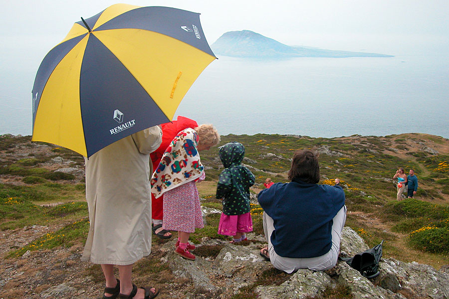
Having had my appetite whetted by the first couple of sections I’d sampled in this way – that between Holyhead and Trearddur Bay on Holy Island and Brynsiencyn and Newborough on the south side of Anglesey – I headed to the north-west coast for my next visit, enticed by the Welsh government’s website’s description that this included some of the island’s ‘most remote scenery’. The fact that much of the coastline here is owned and cared for by the National Trust also boded well. As before, I picked a day when Anglesey was bathed in sunshine while the mainland mountains sulked beneath cloud.
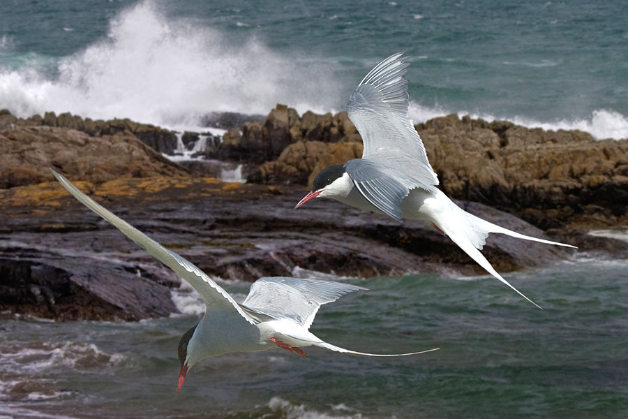
“A mile or so on, the birdwatchers were absorbed with their binoculars at Cemlyn Bay – one of the most important breeding sites for terns in Wales.“
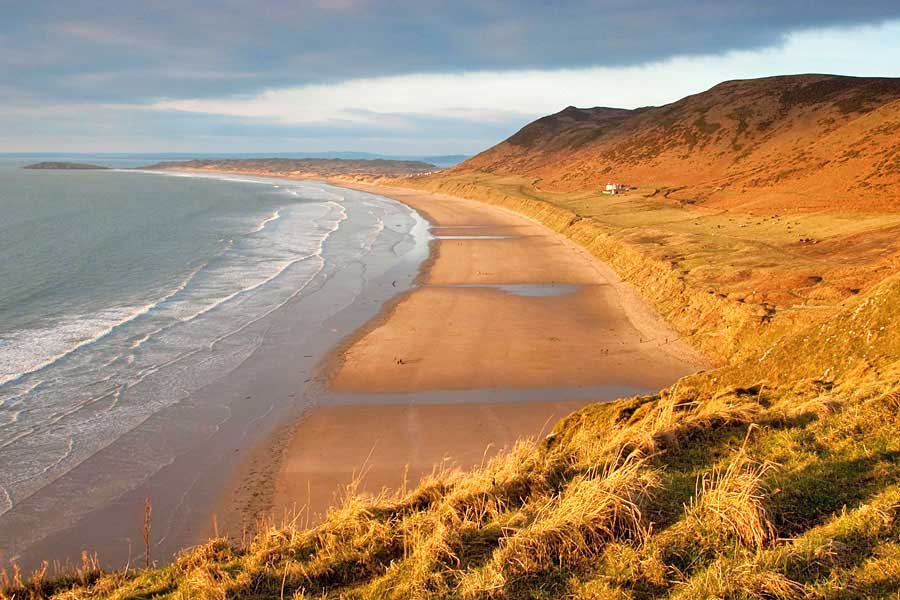
Wide, sandy beaches
From Llanfachraeth I caught a bus to Tregele – about a mile before Cemaes Bay – which avoided the need to have to walk back inland from the latter round Wylfa Nuclear Power Station. Impossible to miss this hulk of a building as you head towards the coast, but once there at least you turn your back on it. A mile or so on, the birdwatchers were absorbed with their binoculars at Cemlyn Bay – one of the most important breeding sites for terns in Wales. Thereafter, as I headed on west towards Carmel Head then southwards to Porth Swtan/Church Bay, I met no one, though this stretch afforded some of the best cliff scenery I’d seen so far on Anglesey.
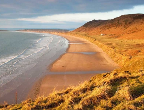
The walking, which certainly hadn’t been arduous, became even more gentle now as the path headed due south past a succession of wide, sandy beaches, Holyhead (and its all too obvious chimney – belonging to the aluminium smelting works) coming ever closer into view. Yet again, apart from the odd dog walker out for a short stroll, I had the coast path to myself, even the beaches largely deserted.
A fine sunset was a fitting end to a most pleasurable walk as I turned inland to head back to Llanfachraeth, somewhat smug in the knowledge that, once more, I’d enjoyed sunny skies all day whilst Snowdonia had remained blanketed.
Fiona Barltrop
This article first appeared in The Great Outdoors (TGO) magazine in July 2010, and is re-published here with the author’s permission. Copyright © Fiona Barltrop 2010. All rights reserved.
Fiona Barltrop is a freelance outdoor writer and photographer, with a particular love for coastal walking. She has been a regular contributor to UK walking magazines, including The Great Outdoors and Country Walking, for many years. She is also a member of the Outdoor Writers and Photographers Guild and available for commissions.
Contact: fiona2barltrop@googlemail.com
Books and maps for this part of the coast