Beaumaris to Pentraeth – on the Wales Coast Path
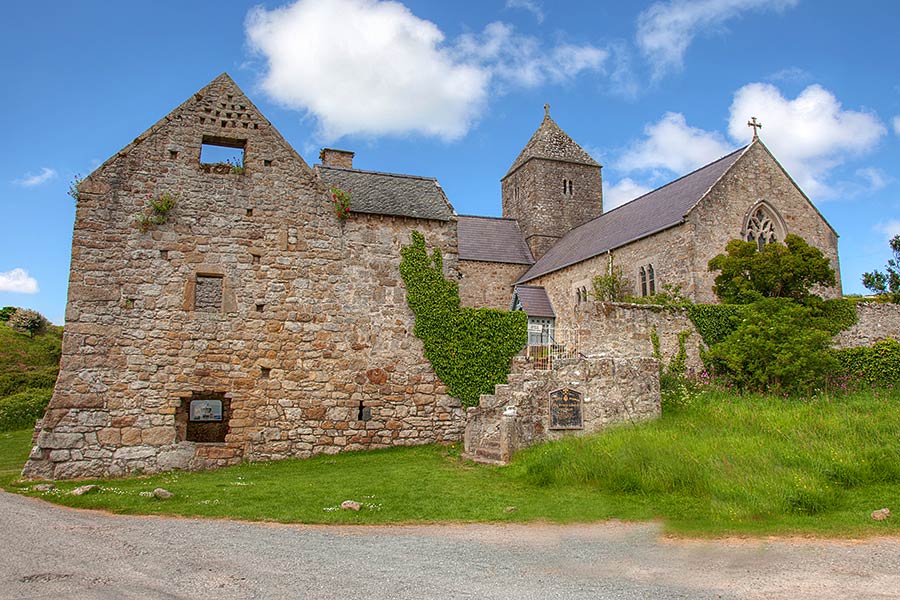
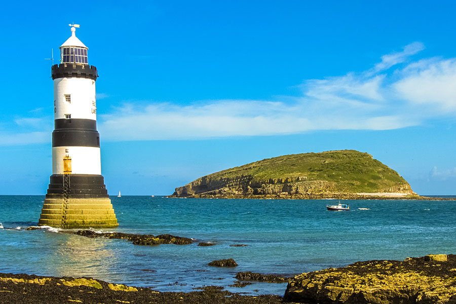
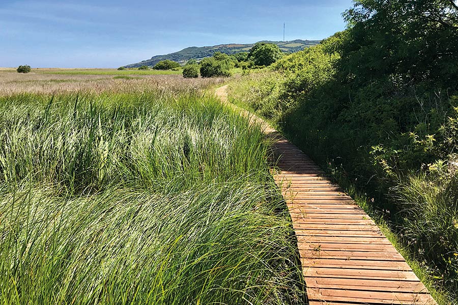
A pleasantly mixed section along the shore to Penmon and its offshore island and iconic lighthouse, then clifftop and upland paths with a final leg along the vast and beautiful expanse of Red Wharf Bay
- Bangor-Beaumaris
- Beaumaris-Pentraeth
- Pentraeth-Moelfre
- Moelfre-Amlwch
- Amlwch Port-Cemaes
- Cemaes Bay-Church Bay
- Church Bay-Holyhead
- Holyhead-Trearddur Bay
- Trearddur bay-Four-Mile-Bridge
- Four Mile Bridge-Aberffraw
- Aberffraw-Newborough
- Newborough-Menai-Bridge
- Menai Bridge
Outline
Distance: 12.5 miles/20 kilometres
Start: Beaumaris Pier – SH 606 760
Finish: Pentraeth – SH 535 798
Maps: Ordnance Survey Explorer 263 Anglesey East, Landranger 114
Services: There are pubs, takeaways, toilets and shops in Beaumaris, but very little for the rest of the walk except a seasonal café (Pilot House Café) at Penmon. Pub, Spar shop, takeways, WC and accommodation at Pentraeth. Bus links back to Beaumaris
Where to stay: Pentraeth offers plenty of places to stay, including:
Search more local accommodation through the links below
Plan your trip
Wales is a dream destination for independent travellers. The Welsh Coastal Path is easy to reach by bus, train and plane, hire car or campervan. Stay in a cosy hotel, holiday home or friendly B&B. And don’t forget holiday insurance. It pays to plan ahead. Book Now
Local tours
While you’re here, why not enjoy more of Wales’ rich heritage, history and landscape?


