Borth to Aberystwyth – on the Wales Coast Path
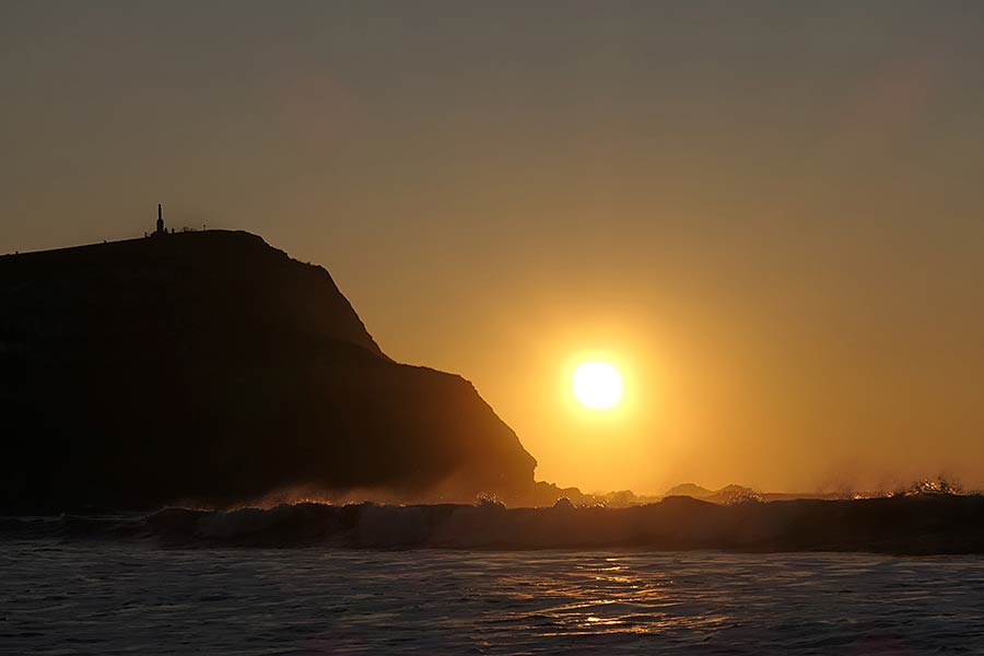
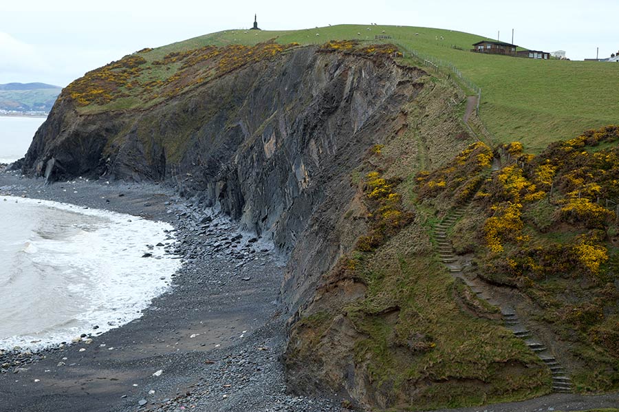
Beyond Borth, a rugged cliff-top route is followed to Aberystwyth, dropping to sea level only briefly at Wallog and Clarach Bay
- Porthmadog-Harlech
- Harlech-Barmouth
- Barmouth-Llwyngwril
- Llwyngwril-Aberdyfi
- Aberdyfi-Machynlleth
- Machynlleth-Borth
- Borth-Aberystwyth
- Aberystwyth-Llanon
- Llanon-New Quay
- New Quay-Aberporth
- Aberporth-Cardigan
- Cardigan
Outline
Distance: 6 miles / 10 kilometres (or 9 miles / 15 kilometres )
Start: RNLI lifeboat station in Borth – SN 608 889 (or Dyfi-Ynyslas National Nature Reserve visitor centre – SN 609 941)
Finish: Royal Pier, Aberystwyth – SN 581 818
Maps: Ordnance Survey Explorer OL23 Cadair Idris & Llyn Tegid, and 213 Aberystwyth & Cwm Rheidol, Landranger 135 Aberystwyth and Machynlleth
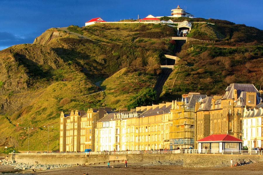
Services: Borth has places to eat, a cash machine, shops, public toilets and accommodation, including several campsites and a youth hostel. En route to Aberystwyth, there are holiday parks, a campsite and fast food at Clarach Bay. The cafe on Constitution Hill is open daily from mid-January until the end of November. Aberystwyth is the largest settlement between Porthmadog and Cardigan and has a wide range of facilities including all sorts of accommodation, places to eat, cash machines, shops, public toilets and launderettes. (Aberystwyth Tourist Information Centre, Terrace Road | 01970 612125 | aberystwythtic@ceredigion.gov.uk). Aberystwyth is the last town on the route that has a railway station
Where to stay: Aberystwyth has loads of accommodation including:
Search more local accommodation through the links below
Plan your trip
Wales is a dream destination for independent travellers. The Welsh Coastal Path is easy to reach by bus, train and plane, hire car or campervan. Stay in a cosy hotel, holiday home or friendly B&B. And don’t forget holiday insurance. It pays to plan ahead. Book Now
Local tours
While you’re here, why not enjoy more of Wales’ rich heritage, history and landscape?


