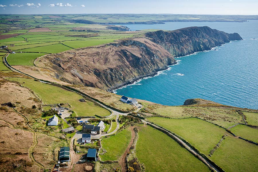
Fishguard to Pwll Deri – on the Wales Coast Path
A varied day, starting on town paths, but soon crossing heathland, passing Strumble Head lighthouse, and ending with spectacular cliffs – and a good chance of spotting seals and other wildlife.
- Cardigan-Newport
- Newport-Fishguard
- Fishguard-Pwll Deri
- Pwll Deri-Aber Draw
- Aber Draw-Whitesands Bay
- Whitesands Bay-Solva
- Solva-Broad Haven
- Broad Haven-Marloes Sands
- Marloes Sands-Sandy Haven
- Sandy Haven-Pembroke
- Pembroke-Angle
- Angle-St Govans
- St Govans-Manorbier
- Manorbier-Amroth Castle
- Tenby
Outline
Distance: 10.5 miles / 17 kilometres
Start: Fishguard (Lower Town) – SM 962 371
Finish: Pwll Deri Youth Hostel – SM 892 387
Maps: Ordnance Survey Explorer OL35 North Pembrokeshire, Landranger 157 St David’s & Haverfordwest
Services: Between them, the adjoining settlements of Fishguard and Goodwick have a range of facilities, including accommodation, places to eat, cash machines, shops and launderette. (Fishguard TIC| 01437 776636; fishguard.tic@pembrokeshire.gov.uk.) The last public toilets of the day are in Goodwick. There’s a B&B 10 minutes off route in Llanwnda and a campsite off route 1.6 kms east of Pwll Deri. Otherwise, no accommodation until the youth hostel at Pwll Deri
Where to stay: Remote area with limited accommodation, including:
Search more local accommodation through the links below
Plan your trip
Wales is a dream destination for independent travellers. The Welsh Coastal Path is easy to reach by bus, train and plane, hire car or campervan. Stay in a cosy hotel, holiday home or friendly B&B. And don’t forget holiday insurance. It pays to plan ahead. Book Now
Local tours
While you’re here, why not enjoy more of Wales’ rich heritage, history and landscape?


