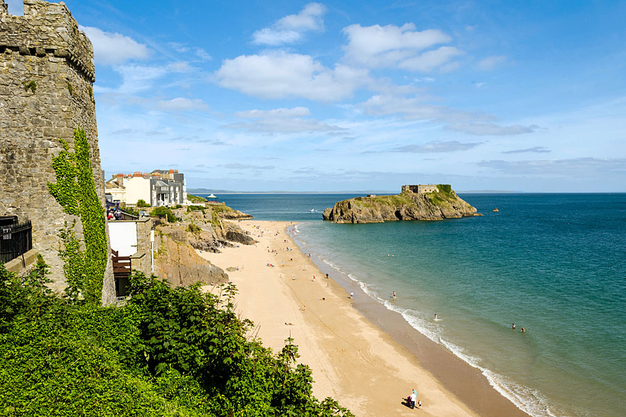
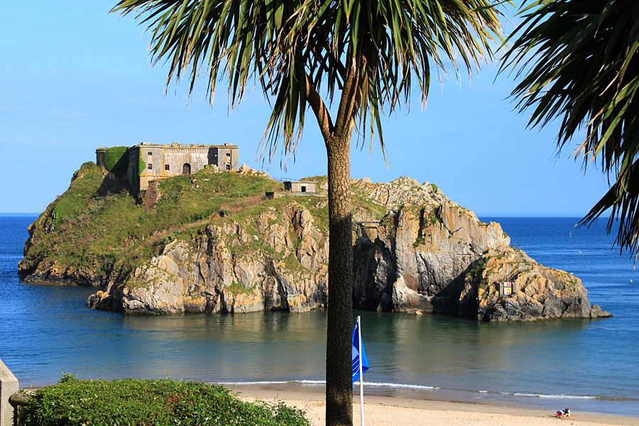
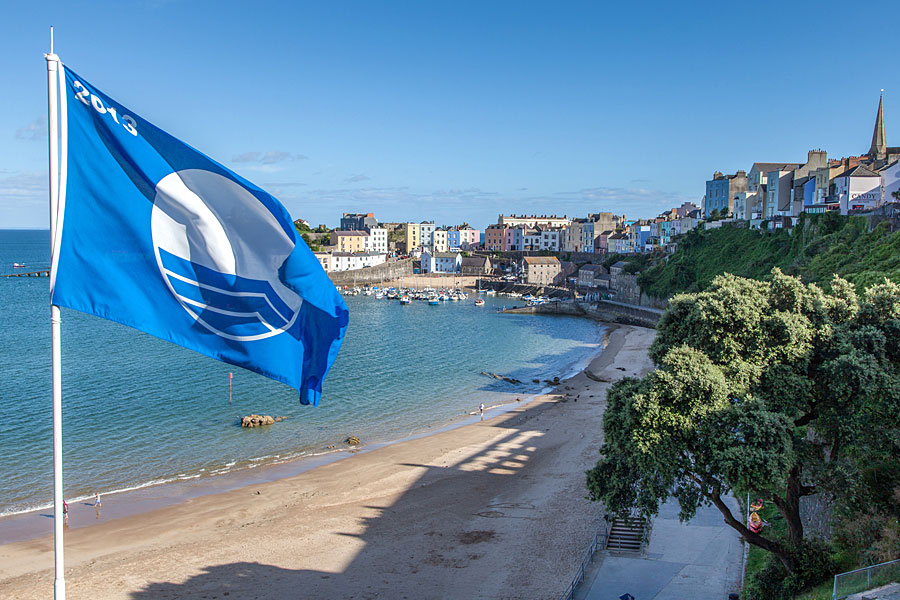
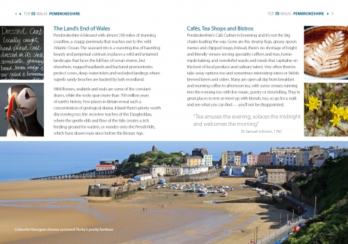
Tenby’s pastel-hued harbourside houses are popular with visitors
Fiona Barltrop enjoys a fine stretch of the Wales Coast Path
JUST EAST OF AMROTH, which marks the southern end of the 186 mile Pembrokeshire Coast Path, you enter Carmarthenshire.
There’s a fine stretch of relatively unknown coastline here linking Amroth with Pendine, now part of the Wales Coast Path. I first walked it one day a few years ago in both directions, and felt rather smug to have had it entirely to myself. On the next occasion, fairly late in the year, I took a bus from Tenby to Pendine and walked all the way back, but stopped for too many photos along the way, so was benighted at the end. Time for another go.
Seven miles-long beach
Based on this occasion some distance further west in Pembrokeshire near to the village of Lamphey, on the railway line between Pembroke and Tenby, I decided to take the train, just a 17-minute ride to the latter – and a lovely little journey in itself. But since the train/bus times didn’t link up – both infrequent services – my best option was to continue on the train to Kilgetty, 10 minutes further on, where I arranged for a local taxi to pick me up and drop me off at Pendine. Well, what’s a £20 fare when you know you’ve got a thoroughly enjoyable day’s walk ahead of you.
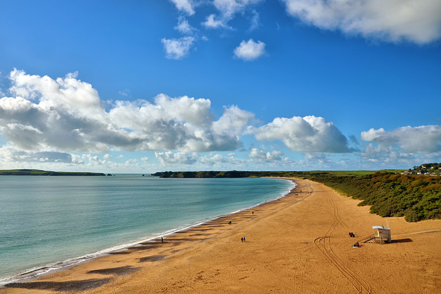
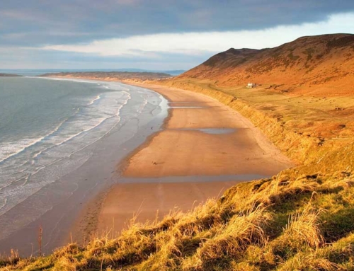
East of Pendine is a famous seven mile long beach, used for attempts at world land speed records. On the sands between 1924 and 1927 the record was broken five times. There’s a museum of speed here, and motorsport speed events still take place (viewers of a recent series of Michael Portillo’s railway journey programmes will have seen him take a spin in a three-wheeler at one such event).
But, I must confess, the peace and quiet of a deserted beach – which is how I’ve found it each time – is much more to my taste. For the MOD own Pendine Sands, acquired during the Second World War for use as a firing range, so public access is restricted, and the red flags were duly flying. Only at the very western end of the beach beyond the prohibited area can the public venture, and today there were just a few dog walkers to be seen.
“There’s a fine stretch of relatively unknown coastline here linking Amroth with Pendine, now part of the Wales Coast Path.”
Cliffs and coves
Having strolled along the sea wall to its end and back, I set off up the steps to Dolwen Point, which, on a clear day (as it was) affords superb views back along the beach, Worm’s Head at the tip of the Gower peninsula visible in the far distance. After a short stretch along the cliff-top the path descends to the National Trust owned cove, Morfa Bychan.
Allied Forces practised on this beach in preparation for the Normandy landings in 1944. The concrete structure you pass was built to mimic the defences on the French coast. It was then back uphill again with Tenby and Caldey Island visible in the distance from on top. Continuing westwards, the views over Marros Sands were particularly impressive with the tide is out. Another descent and ascent followed and Amroth’s extensive sands came into view ahead.
Pembrokeshire Coast Path
Down at the seafront is the plaque marking the start of the Pembrokeshire Coast Path (you cross the border between the two counties just before joining the road); I first walked it over two decades ago, and it’s been a favourite ever since. With the tide out you can walk the beach, but I stuck to the official route along the pavement.
Another cliff-top stretch followed, then it was down to Wiseman’s Bridge and on to Saundersfoot, passing through some tunnels on the way (the route of the old railway track). More ups and downs along the quite wooded final section via Monkstone Point, and I made it to Tenby before dark this time, and duly caught the train back to Lamphey. An excellent walk indeed, and well worth doing again.


