Pentraeth to Moelfre – on the Wales Coast Path
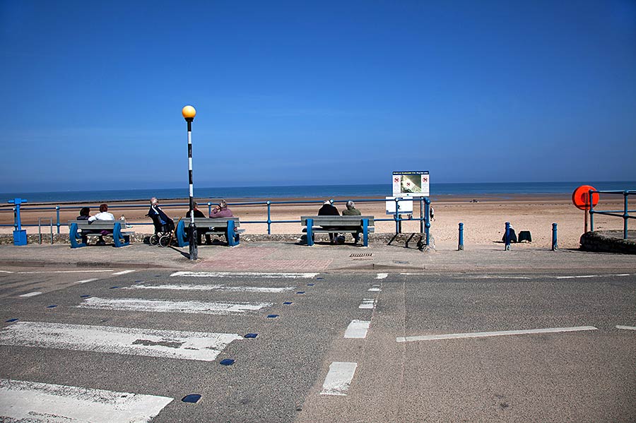
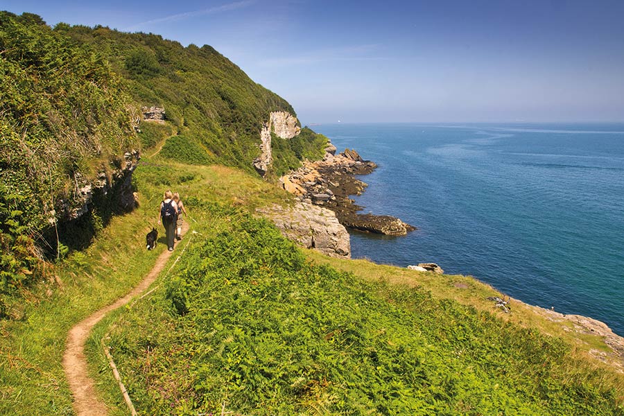
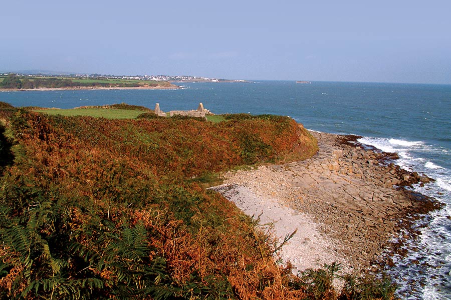
A vast tidal estuary with a spacious family-friendly pub on the shore, one of the island’s most popular resorts, plus two fine sandy beaches, then on to Moelfre and its lifeboat station.
- Bangor-Beaumaris
- Beaumaris-Pentraeth
- Pentraeth-Moelfre
- Moelfre-Amlwch
- Amlwch Port-Cemaes
- Cemaes Bay-Church Bay
- Church Bay-Holyhead
- Holyhead-Trearddur Bay
- Trearddur bay-Four-Mile-Bridge
- Four Mile Bridge-Aberffraw
- Aberffraw-Newborough
- Newborough-Menai-Bridge
- Menai Bridge
Outline
Distance: 6 miles/9.5 kilometres
Start: Pentraeth beach – SH 535 798
Finish: Moelfre – SH 512 864
Maps: Ordnance Survey Explorer 263, Landranger 114
Services: There is an excellent seafront pub at Red Wharf Bay and in the large caravan park. En-route in Benllech there are public toilets as well as cafés and shops just off the path. Pub, cafe and takeaway as well as accommodation in Moelfre. Bus links back to Pentraeth from Moelfre
Where to stay: Pentraeth offers plenty of places to stay, including:
Search more local accommodation through the links below
Plan your trip
Wales is a dream destination for independent travellers. The Welsh Coastal Path is easy to reach by bus, train and plane, hire car or campervan. Stay in a cosy hotel, holiday home or friendly B&B. And don’t forget holiday insurance. It pays to plan ahead. Book Now
Local tours
While you’re here, why not enjoy more of Wales’ rich heritage, history and landscape?


