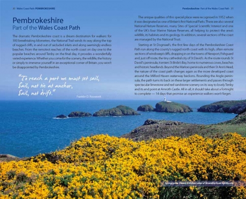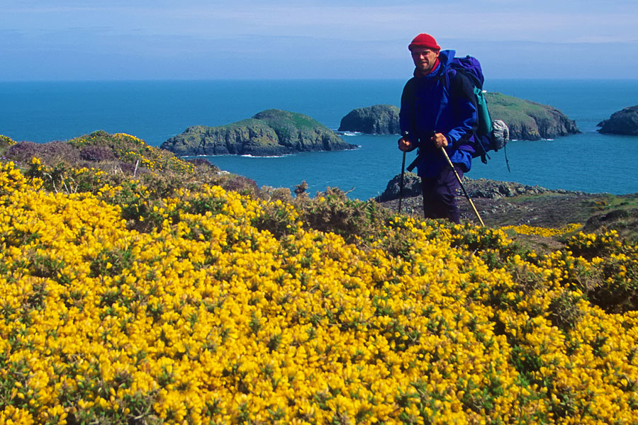
Wonderful walking: A walker on the coastal path close to Strumble Head in Pembrokeshire
Unbroken coastal walking
When the Wales Coast Path opened in May 2012, Wales became the largest country in the world with continuous coastal walking around its entire coast.
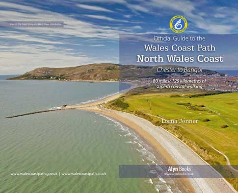
Walkers can now enjoy an unbroken coast path around the Welsh seaboard from top to bottom: from the outskirts of the ancient walled city of Chester, on the Dee estuary in the north, to the pretty market town of Chepstow, on the Severn Estuary, in the south.
The official way-marked coast path covers roughly 870 miles/1400 kilometres.
The whole Welsh coast or bit by bit?
Visually stunning and rich in both history and wildlife, the Wales Coast Path promises ever-changing views, soaring cliffs and spacious beaches, sea caves and arches, wildflowers, seabirds, seals and dolphins, as well as castles, cromlechs, coves and coastal pubs. It’s a genuinely special landscape.
Long-distance walkers and hikers will enjoy the unbroken path, the solitude, the Welsh coast’s constantly changing moods and the back-to-nature challenge. Holiday and weekend walkers can recharge their batteries, see something new, and regain a priceless sense of perspective. Families can potter, play and explore. And locals can walk the dog, jog, get fit and rediscover their home patch.
Whether you choose to walk the whole of the Wales Coast Path in one go, in occasional sections, or a few miles at a time, you’re in for a real treat. There’s something new around every corner, and you’ll discover places that can only be reached on foot
Official route, signs and waymarkers
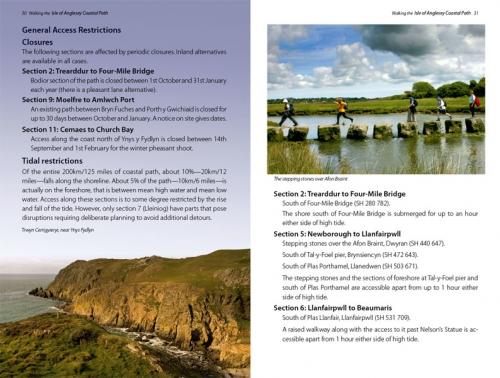
For the most part, the Wales Coast Path follows a single official route. The path hugs the coast as far is practically and legally possible, occasionally diverting inland around private estates, nature reserves, natural obstacles, estuaries and gunnery ranges. Occasional changes to the official route are notified on the Welsh goverment’s official Wales Coast Path website.
The path uses a mixture of public rights of way: footpaths, bridleways and byways as well as lanes, open access land, beaches and some permissive paths.
On most sections, the route is well-used and clear. In remote or under-used areas, however, walkers will need to pay closer attention to the maps and directions in the Official Guides, and keep an eye out for signposts and waymarkers on the ground.
The Wales Coast Path is clearly signed and waymarked with its own distinctive logo: a white dragon-tailed seashell on a blue ground surrounded by a yellow circlet bearing the words ‘Llwybr Arfordir Cymru – Wales Coast Path’.
Look for wooden fingerposts at main access points, in towns, on roadsides and lanes, and at key junctions.
Elsewhere, the route is clearly waymarked with plastic roundels fixed to stiles, gateposts, fences and walls. In many places the Wales Coast Path waymarkers sit alongside others for already established routes — such as the Isle of Anglesey Coastal Path, the Ceredigion Coast Path, or the Pembrokeshire Coast Path National Trail.
Generally, however, if you keep an eye out for the distinctive Wales Coast Path signs and waymarkers, and the sea on your right (if you’re walking from north to south), you shouldn’t stray too far from the route.